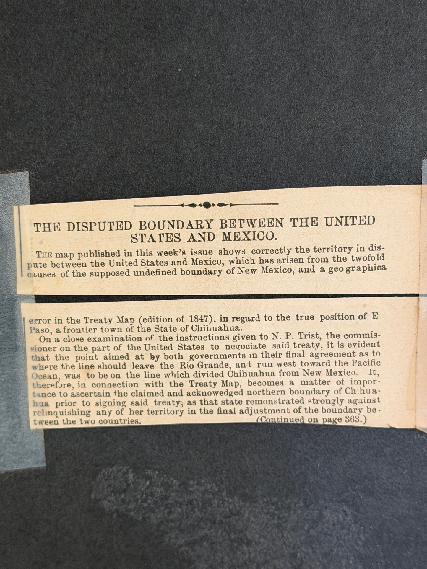
This map depicts the territory of New Mexico during a period of significant boundary disputes and territorial claims, likely in the mid-19th century following the Mexican-American War. It highlights the complex negotiations and conflicts over land that would eventually shape the modern states of the American Southwest. The inclusion of "Disputed" areas and specific claims by both Mexico and the United States underscores the volatile political landscape of the era.
The cartography itself, with its detailed rendering of rivers, mountains, and settlements, provides valuable insight into the geographical knowledge and surveying capabilities of the time. Such maps were crucial for administration, military planning, and westward expansion, making them important historical artifacts. The "Mesilla Valley - The Disputed Territory" notation is particularly significant, pointing to a specific area of contention that was later resolved by the Gadsden Purchase.